Hurricane Isaias (ees-ah-EE-ahs) is expected to push ashore into the Carolinas late Monday or early Tuesday with life-threatening storm surge flooding, damaging winds and flooding rainfall. Some additional strengthening is possible before landfall and Isaias will only slowly weaken as it spreads those impacts up the East Coast as far north as New England through early Wednesday.
Watches, Warnings and Current Conditions
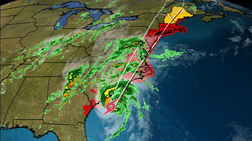
A hurricane warning has been issued for a portion of the upper South Carolina and lower North Carolina coasts since Isaias is forecast to make landfall as a Category 1 hurricane tonight. The hurricane warning includes Myrtle Beach, South Carolina, and Wilmington, North Carolina.
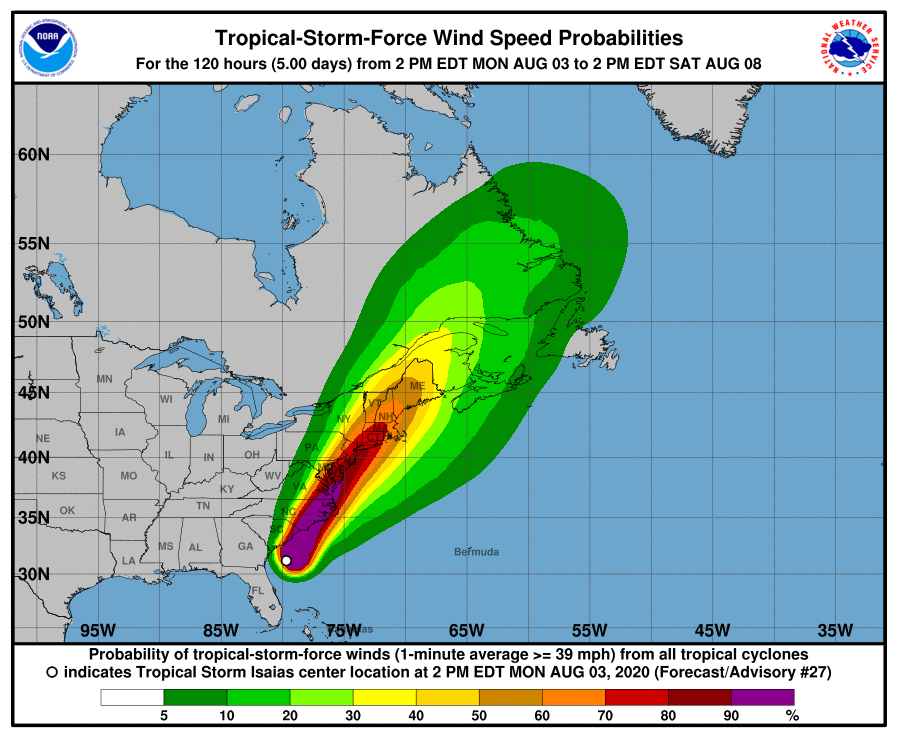
Tropical storm warnings extend as far north as Stonington, Maine. Tropical storm watches extend north of Stonington to Eastport, Maine.
The latest warnings and watches are depicted in the map below.
A watch means the respective conditions are possible within the next 48 hours. A warning means those conditions are expected within 36 hours.

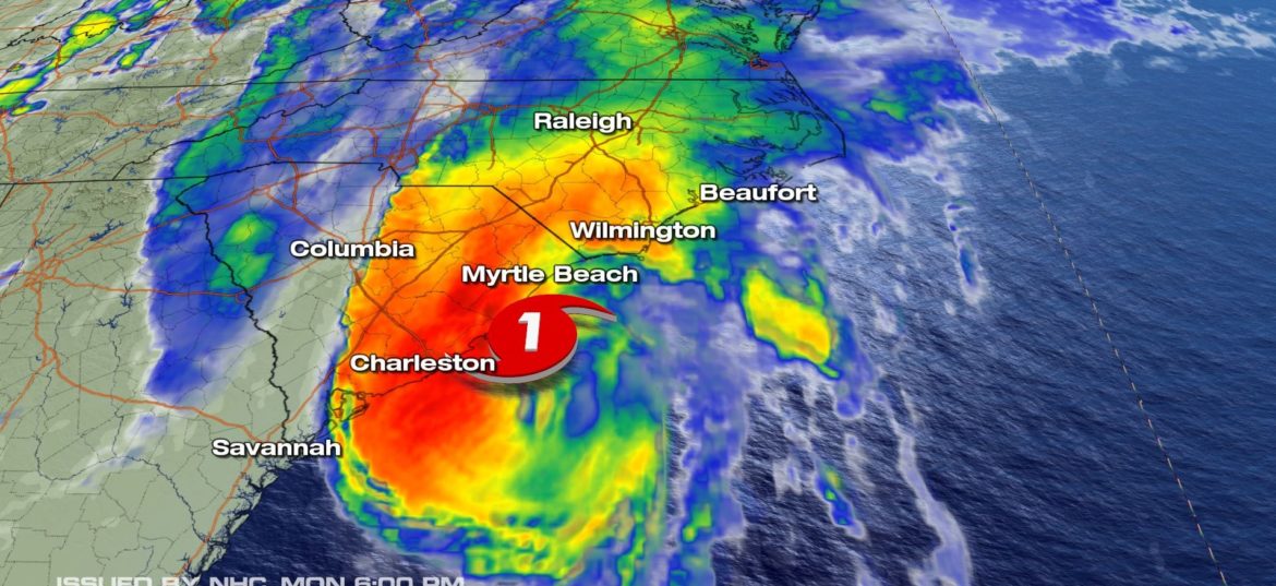
Isaias is currently centered south of the South Carolina coast. The storm is tracking to the north-northeast and will continue moving north-northeastward, but its forward speed will likely increase into Tuesday.
Bands of rain with gusty winds are rotating inland into the Carolinas. The rain will become more persistent and winds will grow stronger tonight.

NOAA’s Storm Prediction Center has issued a tornado watch for parts of eastern North Carolina until 6 a.m. Tuesday and until 2 am. Tuesday for parts of northeastern South Carolina and southern North Carolina.
Additional strengthening of Isaias is possible before making landfall late Monday or early Tuesday on the upper South Carolina coast or in southeast North Carolina.
From there, the storm will sweep quickly northeastward near parts of the Northeast Seaboard to as far north as New England Tuesday into early Wednesday. Read more from weather


