Biggest snow and ice storm in years-
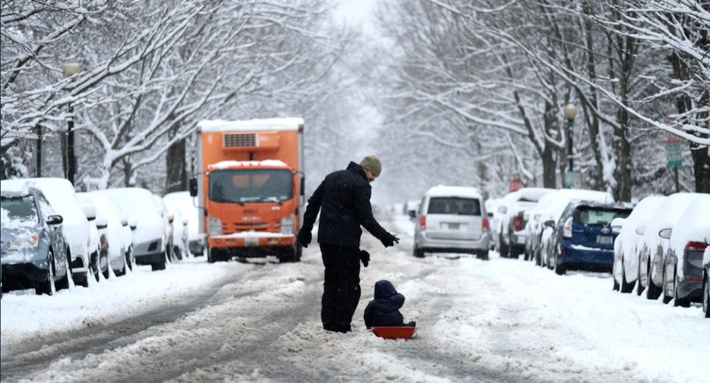
Winter weather advisories and winter storm watches and warnings have been issued across the Northeast for what is shaping up to be the most significant winter storm in several years.
The following written content by Alex Sosnowski,

Winter weather advisories and winter storm watches and warnings have been issued across the Northeast for what is shaping up to be the most significant winter storm in several years. Even with travel being limited amid the coronavirus pandemic, the storm, which has yet to fully take shape, could potentially become highly impactful and disruptive as the first rounds of coronavirus vaccines continue to be shipped around the country.
As AccuWeather’s team of meteorologists has been forecasting since late last week, a blockbuster storm will unfold from Tuesday to Thursday and unload more than 2 feet of snow in spots, with an AccuWeather Local StormMax™ of up to 30 inches expected. The sizable storm has a wide coverage area, with snow expected to fall from southern Illinois to Atlantic Canada and target major thoroughfares including Interstate 95.

The major midweek storm is set to unleash a foot of snow or more across parts of the central Appalachians, upper mid-Atlantic and southern New England, and part of the interior South is expected to get a thick glaze of ice as a drenching rain will pour down along the lower mid-Atlantic coast.
Forecasters are warning that the storm will hit hard and fast with major disruptions to travel and even travel shutdowns, as well as shipping delays, school closings and power outages from this blockbuster storm. Even where some students and people are working from home during the storm, power outages could throw a big wrench into that plan. Some areas may not only pick up the heaviest snowfall in several years, but this snow could also rival December snowfall records. Read more from AccuWeather.
Follow similar interesting unbiased news stories from News Without Politics


